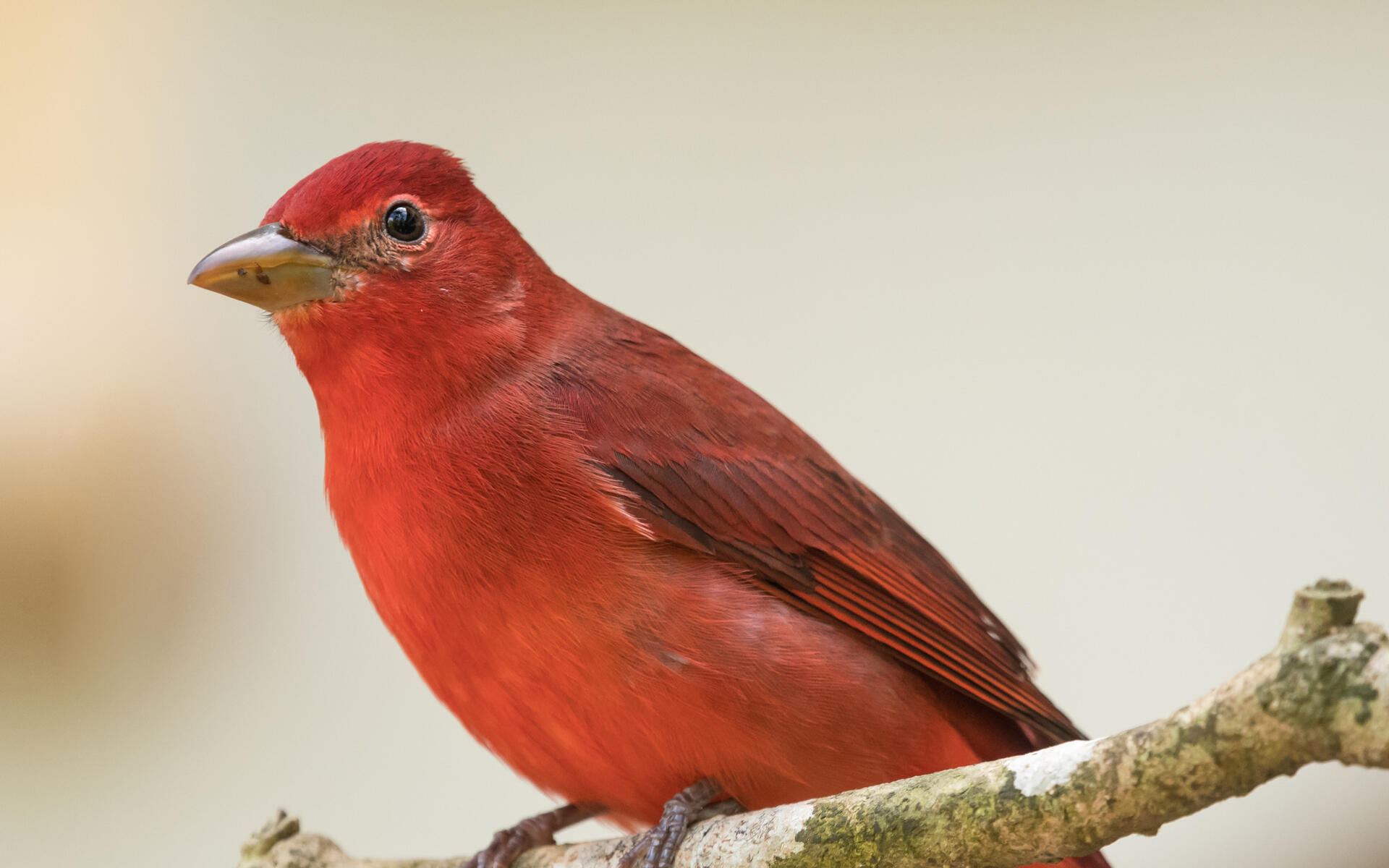
Data can help conservation efforts in areas heavily used by migrating birds
Every fall, dozens of species of landbirds migrate from their summer breeding grounds in the United States and Canada to wintering grounds as far away as South America.
The migration period is one of the most perilous stages in the life cycle for birds, and the widespread loss of stopover habitat is believed to be a contributing factor in the decline for a number of migratory bird species.
The first step to protecting important stopover sites for birds is to figure out where they are located, and a new study led by researchers at the University of Delaware and funded by the U.S. Fish and Wildlife Service (FWS) and partners uses weather radar technology to identify key stopover sites where birds can rest and refuel, as well as changing patterns in bird migration.
The Northeast Migratory Landbird Stopover Report provides a regional perspective on important sites across multiple states in the Eastern United States.
“In the Northeast, nothing provides more comprehensive coverage of the land surface than radar,” said Jeff Buler, associate professor of wildlife ecology at the University of Delaware who led the study. “It detects birds over more than a third of the land area in the Northeast.”
Buler and his colleagues analyzed seven years of weather surveillance radar data to predict potentially important stopover sites for migratory landbirds in the region, and they conducted surveys for two fall seasons at 48 sites in the Delmarva peninsula and mainland Virginia to corroborate their findings.
“We wanted to know: What are birds doing during stopovers, and why are they choosing certain sites over others?” Buler said.
Using accompanying maps with the radar data can help managers and agencies identify and conserve places heavily used by migrating birds — including protected areas and places that are not managed with migratory species in mind, such as urban parks.
“Before using this radar technology, we didn’t have such a comprehensive perspective on migration stopover for the entire region,” said Randy Dettmers, landbird biologist for the FWS Division of Migratory Birds. “We can use this information to target conservation efforts for management and protection of stopover habitat where it will have the greatest benefit to birds — including urban parks where forest and shrub habitats serve as important refueling sites for migrating birds attracted to brightly lit areas.”
Research results
The researchers found that migratory birds favor landscapes with a greater amount of hardwood forest cover but also have a clear preference for hardwood forest patches within more developed landscapes.
Bird density was positively related to the density of arthropods—insects and spiders—and the abundance of fruit, which provide critical food sources for birds looking to refuel during stopovers.
For migratory birds, artificial light is never out of sight — birds flying at about 500 meters above the ground can always detect the sky glow of some large city on the horizon — and it appears to be attractive. The results show that migrant bird density increased with proximity to the brightest areas.
The highest bird densities were found in coastal areas. When southbound landbirds encounter the Atlantic coast, many follow it south rather than migrating over the open Atlantic Ocean. Across the landscape, migrant stopover was most concentrated in woods around brightly lit areas near the Atlantic coast.
The average trend across all radars was a decline of 4.2 percent per year in bird density, which equates to a 29 percent total decline from the period of 2008-2014. Declines were particularly noticeable in Virginia, Massachusetts and Maine.
Translating results to action
The combination of the regional radar data and the survey data equips people involved in conservation at any scale to identify important stopover sites and make management decisions that reflect the needs of specific species, such as ground foragers that feed on insects in the leaf litter.
While the maps are useful for informing management strategies on protected lands — about half of the National Wildlife Refuges in the region show up on the radar – Buler said the data can help identify new priorities as well.
“We can see many places with heavy use by migratory birds that are not yet protected,” he said.
When Gwen Brewer of the Maryland Department of Natural Resources (DNR) looked at the study results, she said, “The Pocomoke River corridor on the Eastern shore just lit up like crazy as a migratory hotspot.”
The DNR provided funding to help ground truth the radar data in coastal Maryland and the Delmarva Peninsula through the Resource Assessment Service Power Plant Research Program.
Brewer, who is the science program manager for the Wildlife and Heritage Service, said the study can direct her agency to other priority areas where they can use fine-scale data to narrow in on the forest patches that offer the greatest value to migratory birds.
“By showing us what stands out as important in Maryland, the study also helps us understand what our role should be in the big conservation picture,” she said. “It helps us think about the responsibility we have as part of the larger landscape, and that can inform our in-state process for acquisition, easements, and grant proposals.”


